

How this map works
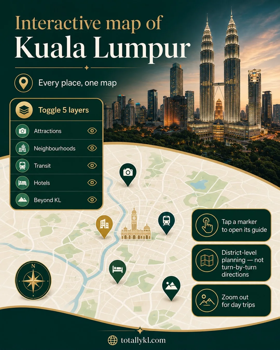
Every marker links straight to the guide for that place. Toggle the layers below to show or hide categories — turn off Hotels if you just want the lay of the land, or turn on Beyond KL to see how far the popular day trips actually are.
Hotel and neighbourhood markers are placed by district for readability, not precisely geocoded to street level — use them to judge which area a place is in, not for turn-by-turn directions. Day trip markers sit outside central KL by design; zoom out to see them.
What's on it
- Attractions — the landmarks covered in our Things to Do guides: Petronas Towers, KL Tower, Batu Caves, and more.
- Neighbourhoods — the districts covered in Places, from KLCC to TTDI.
- Transit — the main LRT/MRT/monorail interchanges and KL Sentral, useful for planning routes between the other layers.
- Hotels — all 24 properties in our hotel directory, plotted by district.
- Beyond KL — the day trips covered on the site: Genting Highlands, Putrajaya, Melaka and Cameron Highlands.
KLCC, Bukit Bintang and the Golden Triangle sit close enough together to walk or grab a short Grab ride between — most of the hotel and attraction cluster you'll see on the map is inside that pocket. Everything in the Beyond KL layer is a proper day trip, not an afternoon detour.